High-resolution digital canopy height models, terrain models, ortho-mosaic photos, and canopy tree crown shapes derived from UAV-borne LiDAR at 22 tree census plots across Japanese natural forests
Ecological Research 40(4): 657-670|Ryuichi Takeshige et al. (2025)
https://esj-journals.onlinelibrary.wiley.com/doi/epdf/10.1111/1440-1703.12555
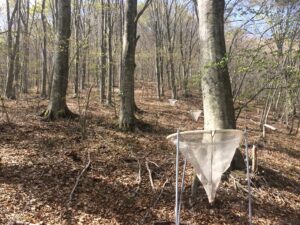
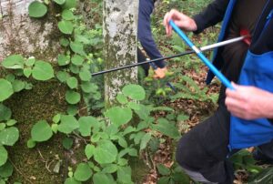
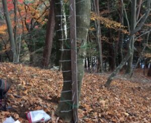
日本各地22か所・各1ha(モニタリングサイト1000)の森林で、ドローン(UAV-LiDAR)を使い、5cm解像度の地形・樹高データと2.7cm解像度のオルソ画像(空中写真)を取得しました。
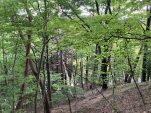
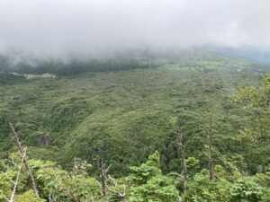
調査地は亜熱帯から亜寒帯まで幅広い気候帯に及び、このうち信州大学森林生態学研究室が管理するカヤの平のブナ林と、志賀高原おたの申す平の亜高山帯針葉樹林の2サイトのデータを提供しました。
全151種・4,328個の樹冠データを含む、日本の自然林を対象とした初めての大規模データで、さまざまな森林研究に活用できます。